Spudis Lunar Resources
Click on images for larger versions
Full Earth over north pole of the Moon from Clementine, 1994 (43 Kb)
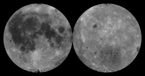 Map
of albedo (reflectance) of Moon (336 Kb)
 Map of topography of Moon (307
Kb)
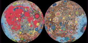 Map of geology of Moon (2.2 Mb)
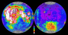 Map of iron content of Moon
(933 Kb)
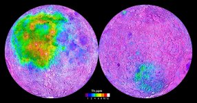 Map of thorium content of Moon
(818 Kb)
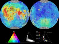 Petrologic (rock type) map of
Moon (click HERE for explanatory paper) (197 Kb)
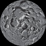
 Maps of poles of the
Moon. North (left) and South (right) (300 Kb)
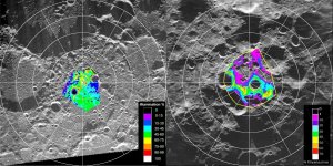 Maps of lighting conditions at
poles from Clementine data (262 Kb)
 Movie of south polar lighting from Kaguya
laser altimetry (Quicktime .mov format; 200 Kb)
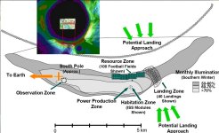 Map of a sample lunar polar
outpost site, NASA 2006 (96 Kb)
 South pole lighting conditions
from Clementine (67 Kb)
 Kaguya view of lunar south
pole. Sunlit points identified above are shown (90 Kb)
 Chemical
composition of mare and highland soils (50 Kb)
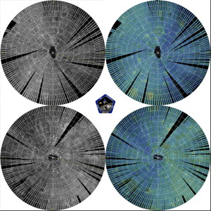 Mini-RF mosaics of
the lunar poles (described HERE)
Home Resume Bibliography Opinion/Editorial Papers Audio-Video Moon 101 Images/Maps Links Blog
Spudis Lunar Resources was created by renowned planetary geologist Paul D. Spudis (1952-2018) and is archived by the National Space Society with the kind permission of the Spudis family.font>